Punctul geodezic Rudi (Arcul geodezic Struve)
Struve Geodetic Arc at Rudi
Moldova's only UNESCO World Heritage Site: a survey point in an apple orchard
48.3189° N · 27.8767° E190 km from Chișinău
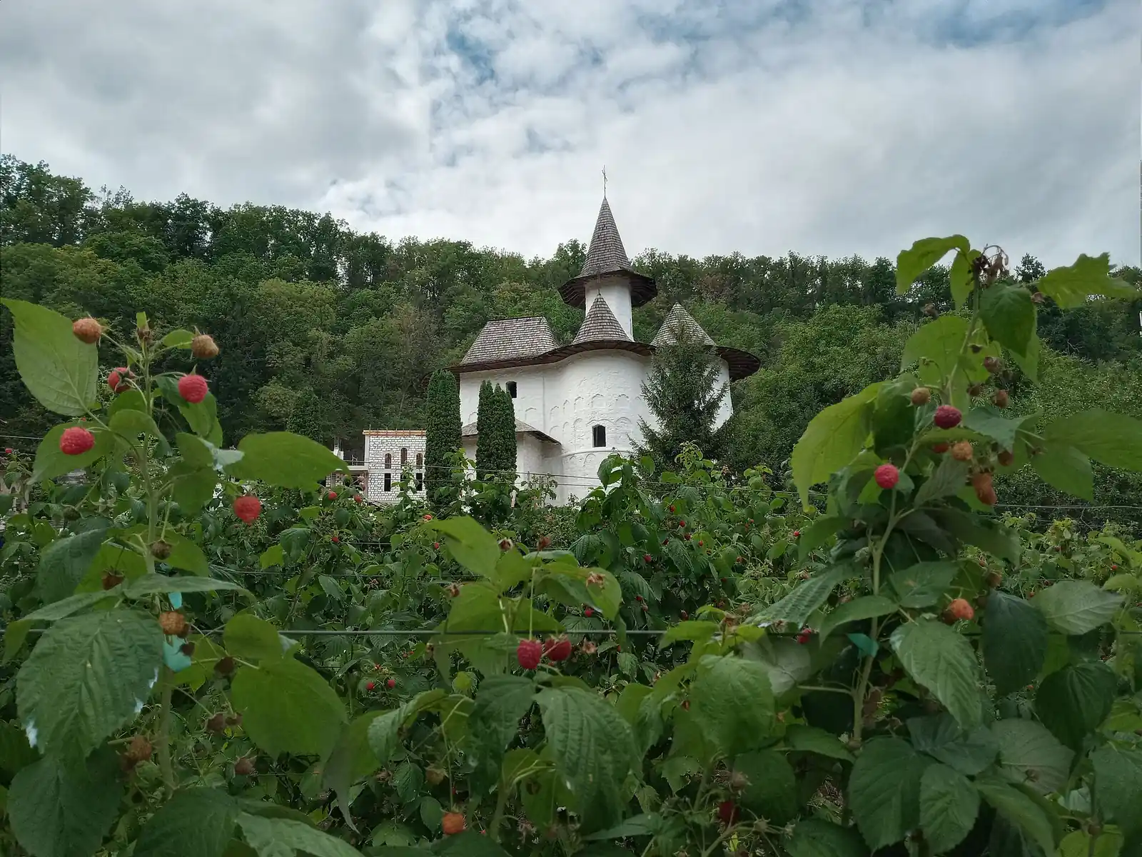
Photo: Sprincean Andrei, CC BY-SA 4.0, via Wikimedia Commons
Near the village of Rudi, in Soroca district, lies the only Moldovan point of the Struve Geodetic Arc, a UNESCO World Heritage Site since 2005. It belongs to the chain of triangulations with which the astronomer Friedrich Georg Wilhelm Struve determined the size and shape of the Earth between 1816 and 1855. An obelisk from 2006 marks the spot.
What you see
The survey point lies in an apple orchard, a few hundred metres from the road between Soroca and Otaci. There is little in the way of spectacle: a memorial in the form of an obelisk, unveiled on 17 June 2006, on the site of the original survey point. What makes the place special is not what you see but what it stands for. In the 19th century this was one of the fixed points of a survey chain that ran from the Arctic Ocean to the Black Sea.
History
Between 1816 and 1855 a team led by Friedrich Georg Wilhelm Struve, an astronomer in the service of the Russian Empire, measured a long arc of the meridian by triangulation. Bessarabia had belonged to that empire since 1812, which explains why the chain ran through present-day Moldova. The arc stretched over more than 2,820 kilometres, from Hammerfest in Norway to the Black Sea, and had 265 main points. The aim was an accurate determination of the size and shape of the Earth, with one of the first precise measurements of a long section of meridian. The point at Rudi was fixed in 1847.
In 2005 UNESCO inscribed 34 of the surviving points, spread across ten countries from Norway to Ukraine, as a single World Heritage Site. The point at Rudi is the only one in Moldova and therefore also the country's only World Heritage Site. That makes it an unusual piece of heritage: not a cathedral or a fortress, but an almost invisible marker recalling a scientific achievement on a European scale.
Tips for your visit
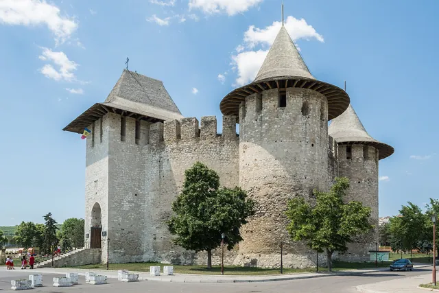
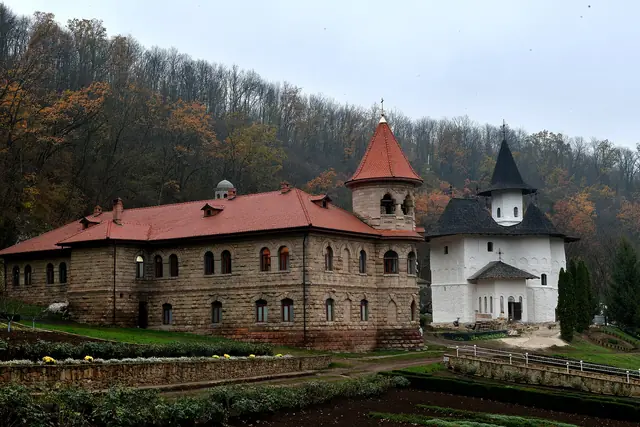
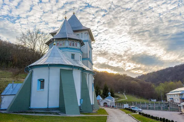
Rudi is about 190 kilometres from Chișinău and some 40 kilometres north-west of Soroca. A visit to the survey point itself does not take long, so combine it with what lies nearby: Rudi Monastery in a wooded valley, Soroca Fortress and, further north along the Dniester, Călărășăuca Monastery near Otaci. The point is easiest to reach by car; without one, a taxi from Soroca is the practical solution. The orchard is private land in use: walk along the edges and do not pick the fruit. Spring, when the apple trees are in blossom, gives the best photos.
Highlights
- Moldova's only UNESCO World Heritage Site (2005)
- Part of a survey chain over 2,820 km long
- Survey point from 1847, obelisk from 2006
- Easy to combine with Soroca and Rudi Monastery