30 cities and regions of Moldova
From Chișinău and Bălți to the Gagauz steppe and the left bank of the Dniester. Filter by type, region or theme, set a maximum distance from Chișinău or open the map.
 Video
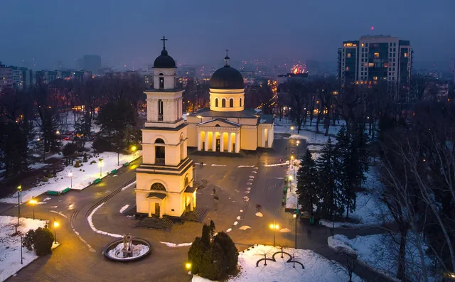
Chișinău
A capital of white limestone, wide avenues and parks, with the wine cellars round the corner
47.0245° N · 28.8323° E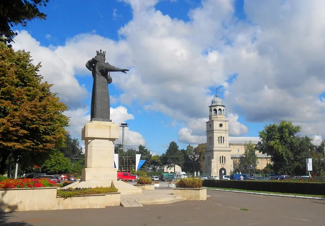
Bălți
Moldova's second city, the multilingual centre of the northern steppe
47.7624° N · 27.9286° E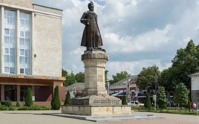
Orhei
District town on the Răut and gateway to Orheiul Vechi
47.3681° N · 28.8271° E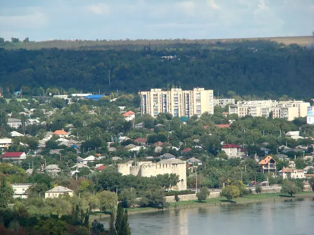 Video
Soroca
A round fortress on the Dniester, a candle of stone and the houses of Roma Hill
48.1543° N · 28.2883° E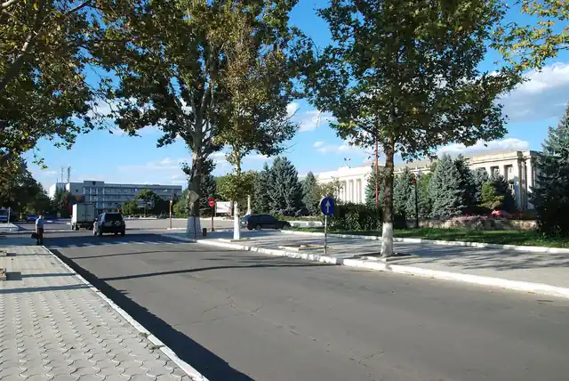
Cahul
Southern border town near the Prut, with a spa and wetlands nearby
45.9044° N · 28.1947° E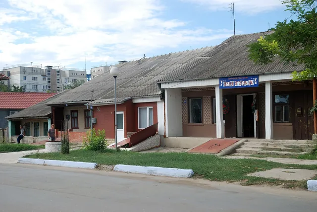
Comrat
Capital of Gagauzia, the autonomous region of the Turkic-speaking Orthodox Gagauz
46.3011° N · 28.6559° E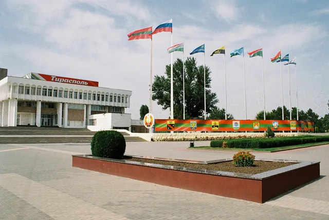
Tiraspol
Administrative centre of unrecognised Transnistria, on the left bank of the Dniester
46.8371° N · 29.6110° E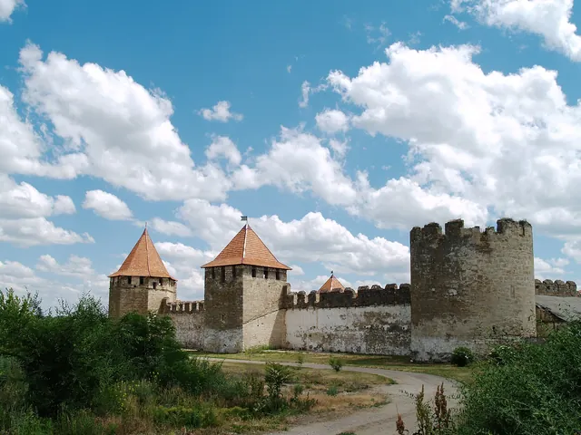
Bender (Tighina)
Fortress town on the right bank of the Dniester, under Transnistrian administration
46.8218° N · 29.4819° E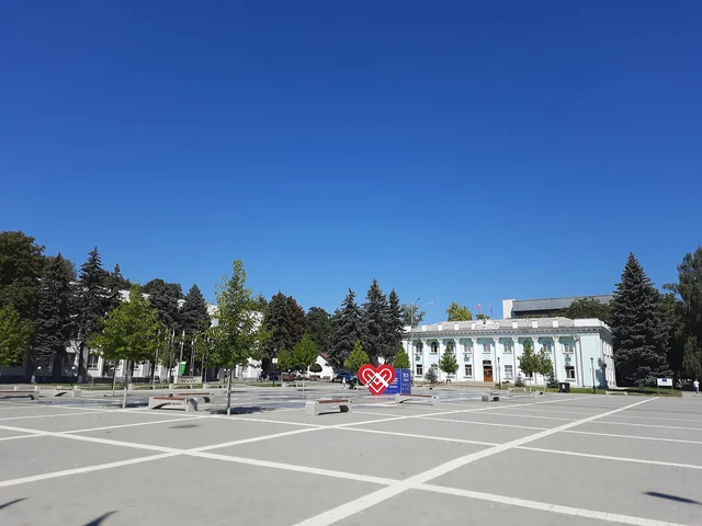
Ungheni
Border town on the Prut with a railway bridge designed by Gustave Eiffel
47.2060° N · 27.7990° E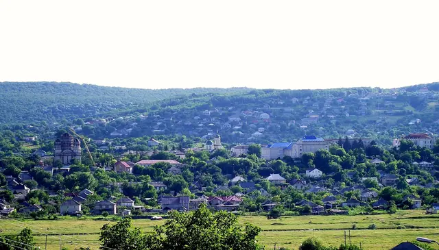
Hîncești
District town with the Manuc Bei estate, half an hour south-west of Chișinău
46.8282° N · 28.5889° E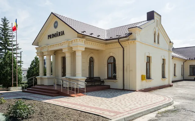
Edineț
Northern district town with a long and partly tragic Jewish history
48.1684° N · 27.2985° E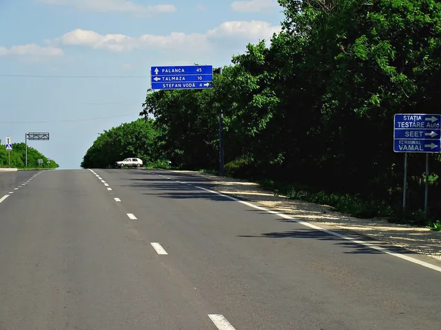
Ștefan Vodă
Small district town that gave its name to the wine region of the south-east
46.5156° N · 29.6621° E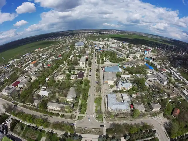
Căușeni
Former Tatar market town with a half-sunken church full of wall paintings
46.6495° N · 29.4068° E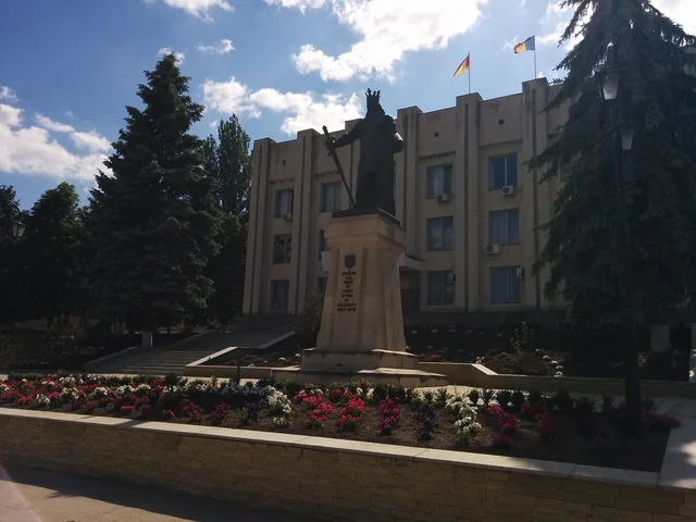
Cimișlia
Steppe town on the Cogîlnic, with fossil-rich ravines and a crossroads to the south
46.5215° N · 28.7833° E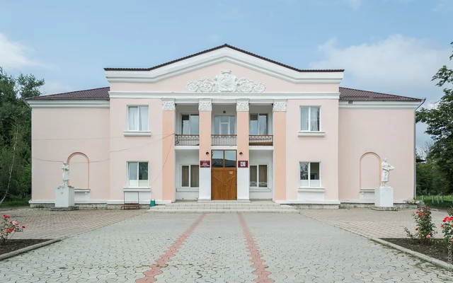
Drochia
Railway and sugar town in the north, named after the great bustard
48.0318° N · 27.8157° E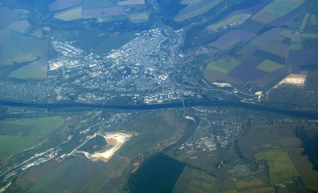
Rezina
Limestone town on the Dniester and starting point for Saharna and Țipova
47.7489° N · 28.9566° E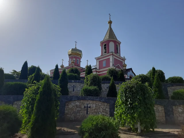
Taraclia
Bulgarian town in the south, with its own university and a church from 1817
45.8980° N · 28.6687° E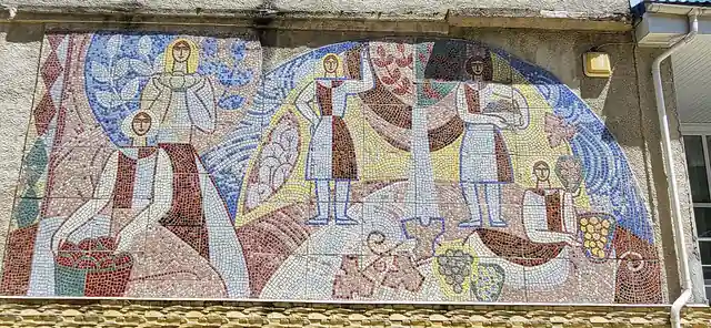
Călărași
Codru town on the Bîc, known for its divin and the wooded monasteries around it
47.2519° N · 28.3178° E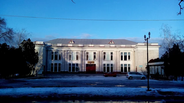
Strășeni
Wooded district town on the Bîc, gateway to Căpriana and the Codrii reserve
47.1474° N · 28.6150° E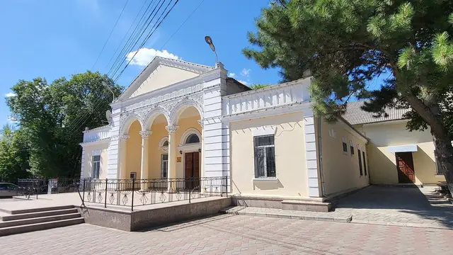
Ialoveni
Growing wine town on the edge of Chișinău, next door to the Mileștii Mici cellars
46.9438° N · 28.7767° E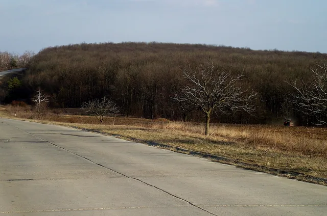
Nisporeni
Wine town in the western Codru, close to Moldova's highest point
47.0776° N · 28.1778° E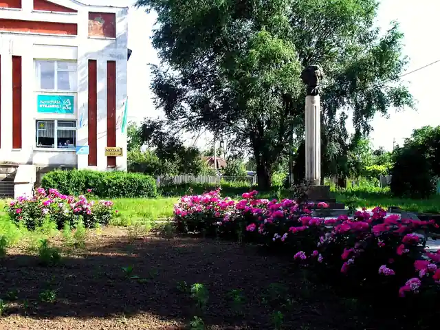
Leova
Quiet border town on the Prut, once a customs post and market town
46.4806° N · 28.2563° E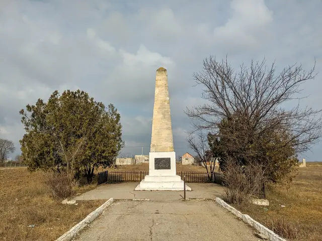
Vulcănești
Moldova's southernmost town, in Gagauzia, with an obelisk from 1849
45.6824° N · 28.4022° E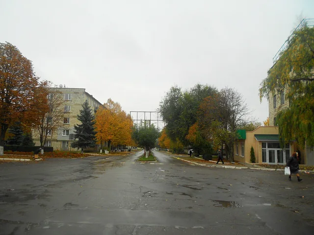
Florești
District town on the Răut, where rail and road meet in the north
47.8938° N · 28.2996° E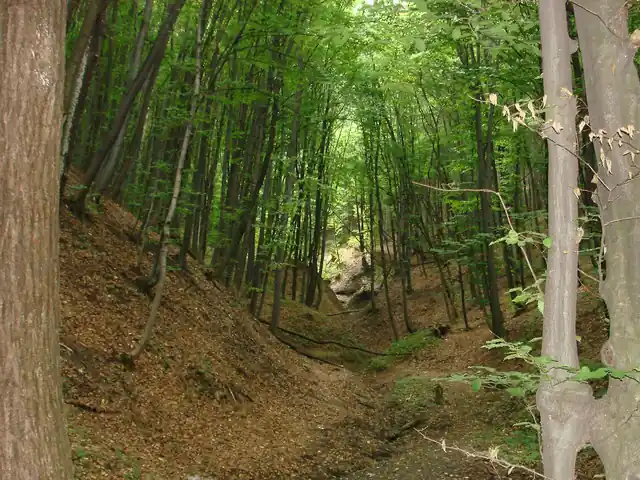
Codru
The wooded hill country of central Moldova, with monasteries, reserves and vineyards
47.1500° N · 28.3500° E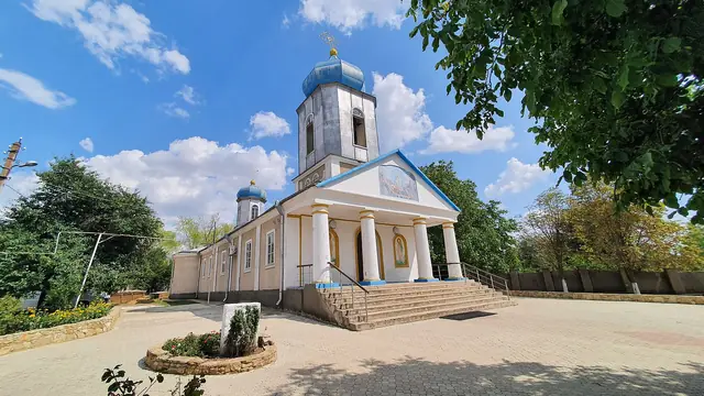 Video
Găgăuzia
Autonomous region of the Gagauz, Orthodox Christians with a Turkic language
46.3011° N · 28.6559° E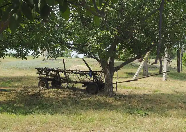
Transnistria
Unrecognised breakaway region on the left bank of the Dniester
47.2700° N · 29.1600° E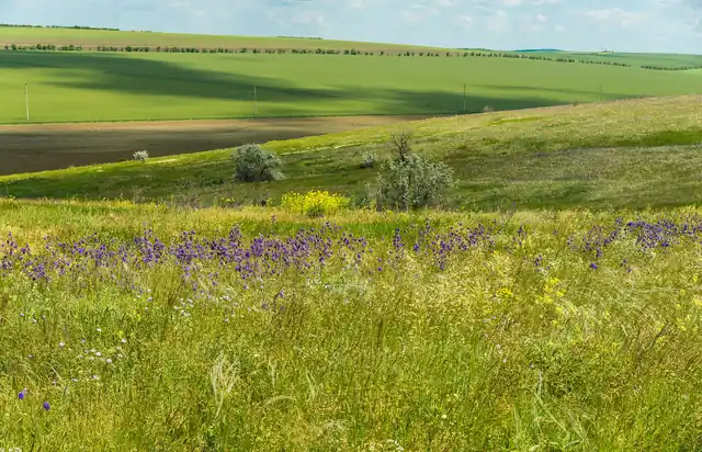
Bugeac
Dry steppe in the south, land of the Gagauz, Bulgarians and ancient ramparts
46.0500° N · 28.6000° E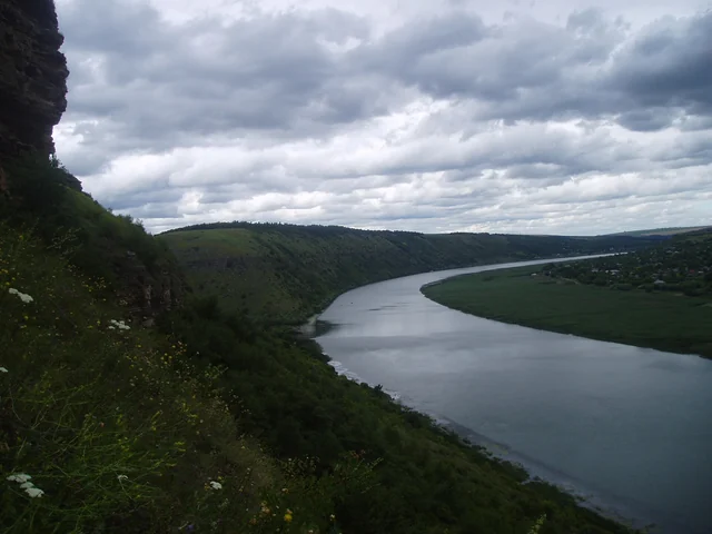
Valea Nistrului
Limestone cliffs, cave monasteries and fortresses along the great river in the east
47.6000° N · 28.9500° E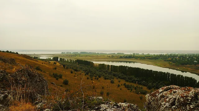
Valea Prutului
Border river with Romania, with floodplains, reservoirs and lakes full of birds
46.9000° N · 28.0500° ENothing matches these filters.